| Focal Length In 35mm Format | 27 mm |
| GPS Altitude | 111 m |
| Camera Model Name | PRIV |
| Flashpix Version | 0100 |
| Shutter Speed | 1/315 |
| Exif Image Height | 5216 |
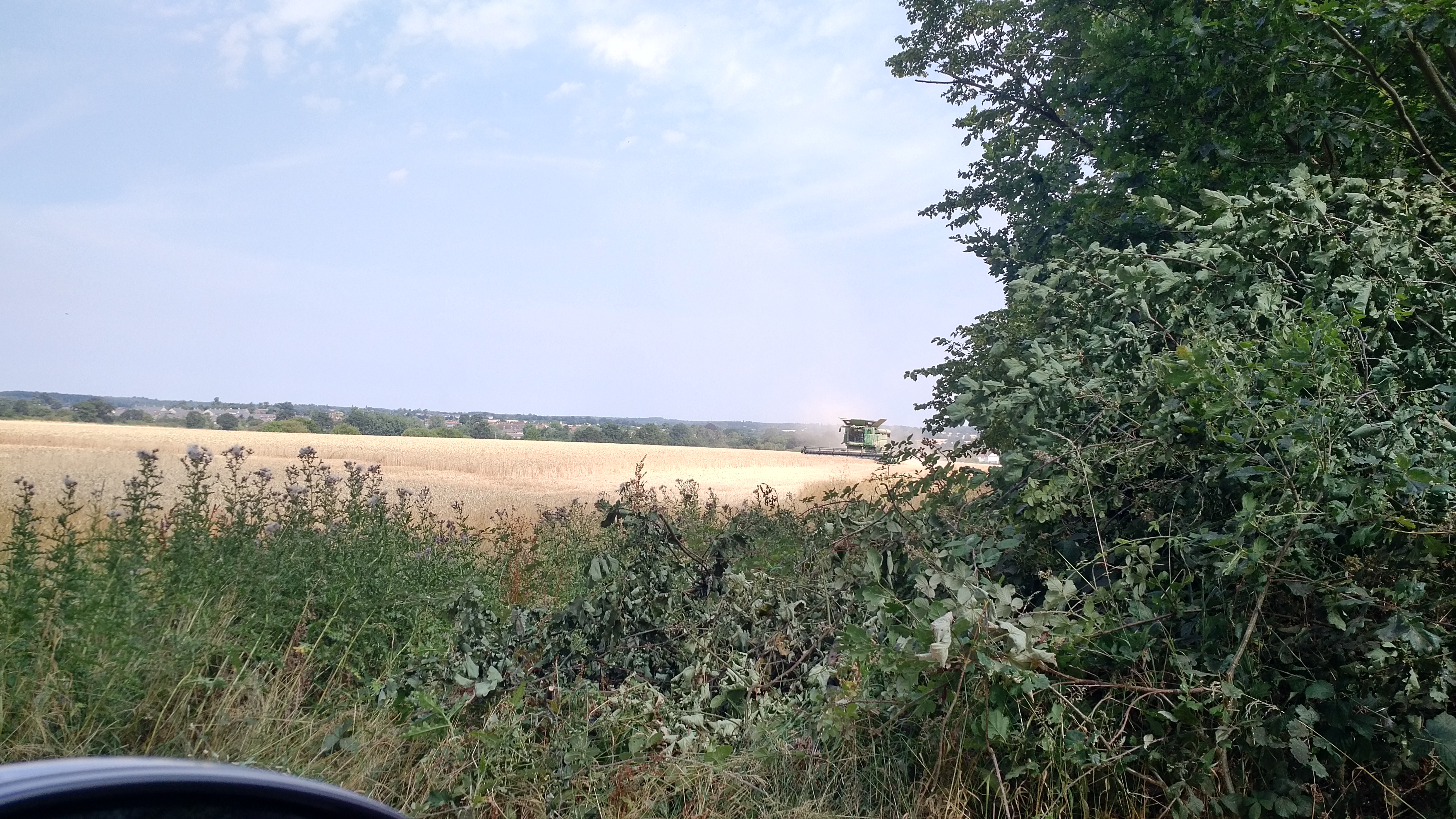
| GPS Latitude | 51.916586 |
| Resolution Unit | inches |
| Focal Length | 4.8 mm (35 mm equivalent: 27.0 mm) |
| Metering Mode | Center-weighted average |
| Interoperability Version | 0100 |
| Color Components | 3 |
| Bits Per Sample | 8 |
| Modify Date | 18-07-25 11:25:50 |
| Brightness Value | 3 |
| MIME Type | image/jpeg |
| File Type | JPEG |
| Sub Sec Time | 383651 |
| File Permissions | rw-r--r-- |
| ExifTool Version Number | 8.60 |
| Date/Time Original | 18-07-25 11:25:50 |
| Light Value | 11.6 |
| Directory | 20180725 |
| ISO | 50 |
| Image Height | 2934 |
| Date/Time Original | 18-07-25 11:25:50 |
| Make | blackberry |
| Interoperability Index | R98 - DCF basic file (sRGB) |
| Y Cb Cr Sub Sampling | YCbCr4:2:0 (2 2) |
| Aperture Value | 2.2 |
| GPS Date/Time | 18-07-25 10:25:50 |
| Exif Image Width | 2934 |
| Sensing Method | One-chip color area |
| Exposure Program | Program AE |
| Scale Factor To 35 mm Equivalent | 5.7 |
| Components Configuration | Y, Cb, Cr, - |
| Flash | Off, Did not fire |
| Shutter Speed Value | 1/315 |
| GPS Date Stamp | 2018:07:25 |
| Modify Date | 18-07-25 11:25:50 |
| Focal Length | 4.8 mm |
| Y Cb Cr Positioning | Centered |
| GPS Longitude | 0.702989 |
| White Balance | Auto |
| Exif Version | 0220 |
| Image Size | 5216x2934 |
| GPS Altitude Ref | Above Sea Level |
| Image Width | 5216 |
| Exposure Time | 1/315 |
| Hyperfocal Distance | 1.94 m |
| Circle Of Confusion | 0.005 mm |
| GPS Latitude | 51.916586 N |
| Create Date | 18-07-25 11:25:50 |
| GPS Longitude Ref | East |
| Field Of View | 67.4 deg |
| Exposure Mode | Auto |
| File Name | IMG_20180725_1125507.jpg |
| X Resolution | 72 |
| Sub Sec Time Original | 383651 |
| GPS Time Stamp | 10:25:50 |
| Create Date | 18-07-25 11:25:50 |
| Exif Byte Order | Big-endian (Motorola, MM) |
| Sub Sec Time Digitized | 383651 |
| File Modification Date/Time | 18-08-06 05:51:22 |
| Scene Type | Directly photographed |
| Exposure Compensation | 0 |
| Color Space | sRGB |
| Encoding Process | Baseline DCT, Huffman coding |
| GPS Processing Method | ASCII |
| Custom Rendered | Unknown (2) |
| Scene Capture Type | Standard |
| File Size | 5.0 MB |
| Y Resolution | 72 |
| Aperture | 2.2 |
| Warning | [minor] Unknown APP4 segment |
| GPS Latitude Ref | North |
| GPS Longitude | 0.702989 E |
| GPS Position | 51.916586 N, 0.702989 E |
| F Number | 2.2 |
| Software | IMX230-S-21 |
| GPS Altitude | 111 m Above Sea Level |